Friday, September 27, 2013

FISHERMAN'S BEACH & THE BASIN

Fisherman's Beach and The Basin lie between the Long Reef headland to the south and the Collaroy headland to the north. It's a delightful spot. I sit there and enjoy the view and the fresh sea air with a delicious feed from the local gourmet pie shop, the Upper Crust.


Looking north towards The Basin


Looking south to Long Reef headland from The Basin


Looking south towards The Basin

 
Public sculpture at top of staircase

Collaroy pool from Collaroy headland
 
Access to Fisherman's Beach and The Basin via Ocean Grove, off Pittwater Road, or Beach Road and Florence Avenue. Access to Collaroy headland via Brissenden Avenue, off Pittwater Road.

Google Map Brissenden Avenue, Collaroy

JAMIESON PARK, NARRABEEN LAKE

Jamieson Park is just below Collaroy Plateau, on the shores of Narrabeen Lake. There's a path that winds around the waterline that is used by doggie walkers, joggers and cyclists on weekends. Better to go there during the week when it's less busy. Dogs must be on a lead.

The park has barbecue facilities, a shop and boat hire.

This pic taken on a Friday morning in school holidays

Peaceful Narrabeen Lagoon

Interesting stand of trees at Jamieson Park

Start of the walk around the lagoon that ends near South Creek and Cromer Golf Course.


Access via The Esplanade which runs off Mactier Street, off Pittwater Road, or Veterans' Parade via Noika Road.

Google Map Jamieson Park, Narrabeen

COLLAROY PLATEAU

Edgecliffe Boulevard on Collaroy Plateau provides one of the best views on the Northern Beaches and has a designated lookout. Collaroy Beach is to the east and Narrabeen Lake (actually a lagoon) to the west.


Narrabeen Lagoon (left) and Collaroy Beach


Jamieson Park is to the left of this view of the lagoon


Access via Edgecliffe Boulevarde off Veteran's Parade near the War Veterans' Aged Care facility. Walk down Fuller Avenue for a closer look at the view.

Google Map Edgecliffe Boulevarde, Collaroy

CURL CURL OCEAN BOARDWALK

Curl Curl Beach is located between Freshwater Beach to the south and Dee Why Beach to the north. There's an ocean boardwalk at South Curl Curl and an off-lead doggie area at North Curl Curl. There's an ocean pool, a surf-lifesaving club and a shop.

A great spot for filling your lungs with fresh sea air!


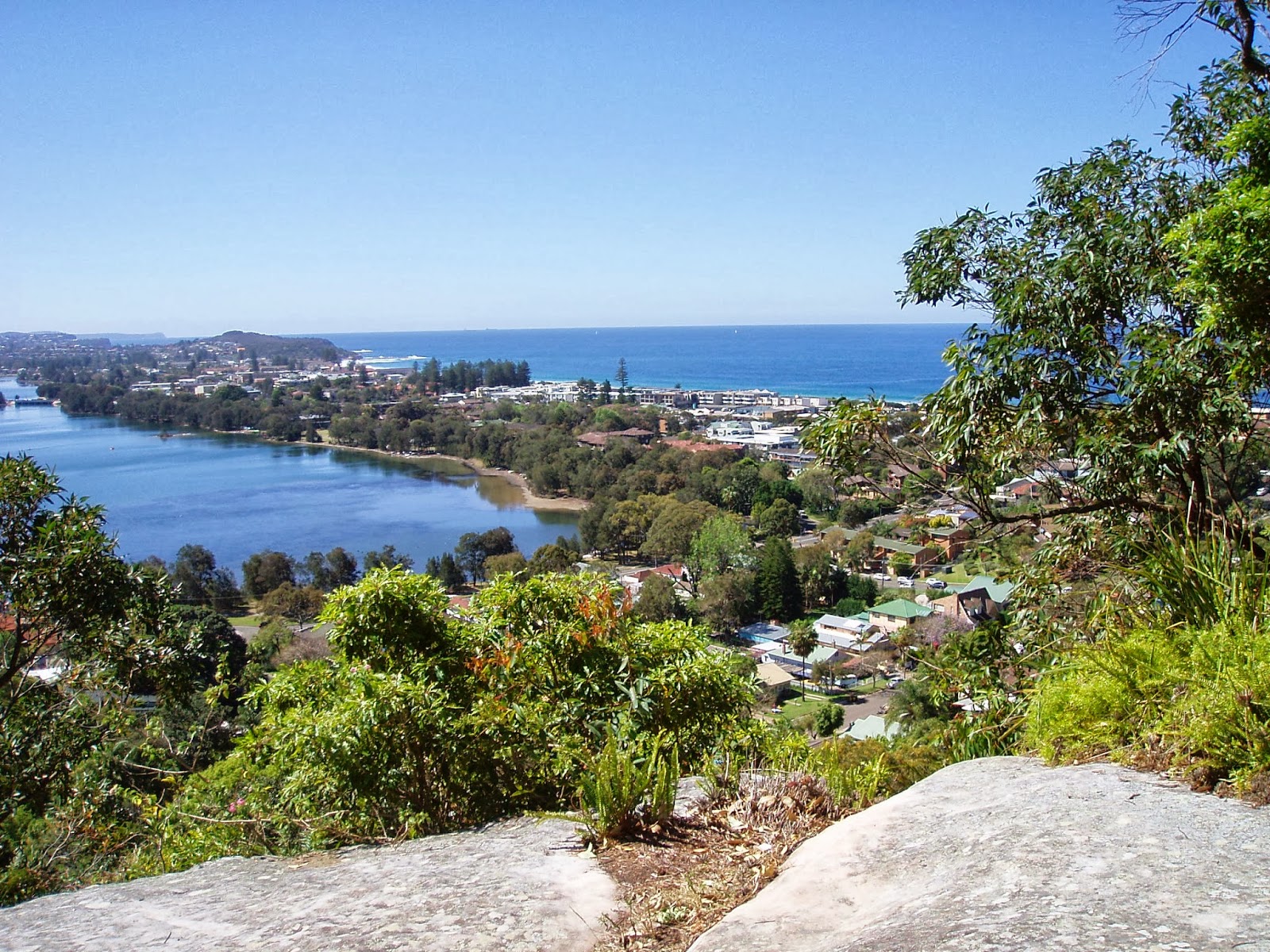
Looking south, with Harbord Diggers club on headland above.


Looking north, towards the off-lead area behind the northern end of the beach. Dogs are allowed to swim in the channel of Curl Curl Lagoon.
  
 
Access via Carrington Road where there is free parking in on-street traffic bays.
Google Map Curl Curl Beach

Monday, September 23, 2013

Where to start? Last Sunday we went to Pittwater Council's Doggie Day Out at Rowland Reserve at Bayview, a glorious spot right on the water. It's an off-leash area, and is available to dog owners every day. My dog and I also like walking along the foreshores of Church Point on a path that starts not far from Rowland Reserve which runs as far as the Pasadena Motel and the ferry wharf. The ferry goes to Scotland Island and back and dogs are allowed on that. I'll put a Google map up soon showing the location.